Mount Wellington |
photos by Tim Gadd |
Click on thumbnails for fullsize picture.
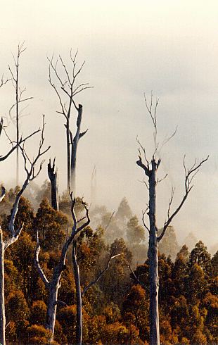
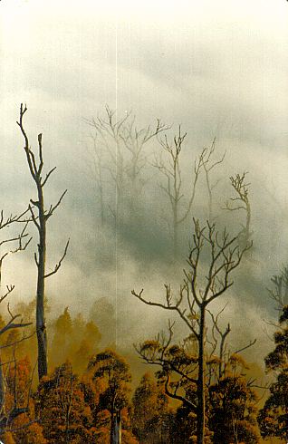
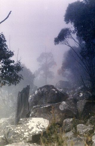
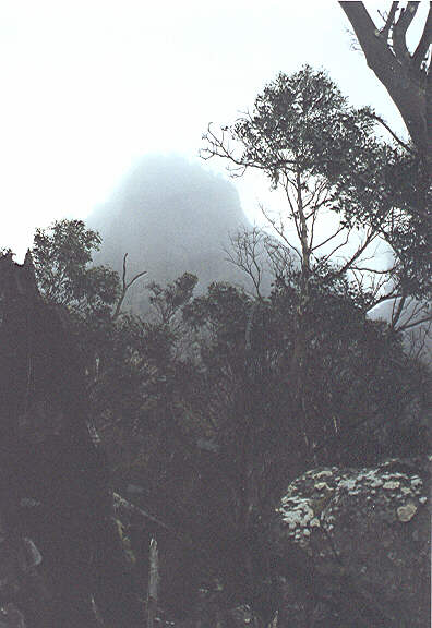
| Trees in early morning fog, Eastern slopes. |
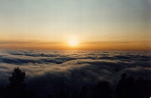
| Sunrise from The Springs |
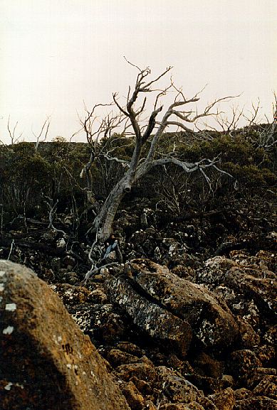
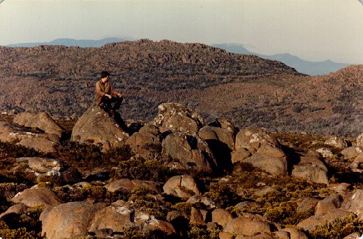
| Me, dwarfed by dead Snow Gum, near Dead Island, Central plateau. |
| One of the ice-houses on South Wellington, from which my great-great-grandfather cut ice and carted it down the mountain on horseback. 'The first of the Mt Wellington ice Houses, in which snow was compacted to make ice, was built in the 1850's at the instigation of Governor Sir William Denison. The Ice Houses, which had thick stone walls and a brushwood roof, continued to operate until the 1890's, the ice being brought down to Hobart by packhorse. Their ruins can still be seen along the Ice House Track, which partly follows the original bridle path. A hermit, Mr Woods, lived in a hut at The Springs during the 1870's, and made a living by selling the ice. Mr Charles Gadd, the first mountain ranger, continued this practice in the 1890's, and Mrs Gadd supplied meals to visitors at The Springs cottage for many years.' From the Mt Wellington Walk Map, author not given. |
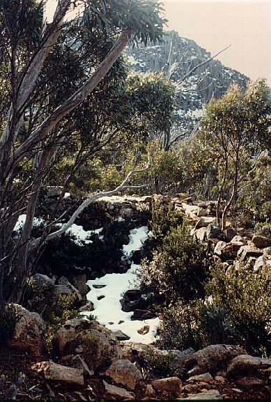
| Near the pinnacle, looking towards South Wellington Gap. |
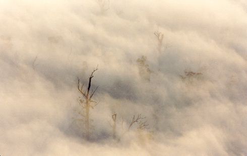
| Morning mist above the Springs, Eastern slopes. |
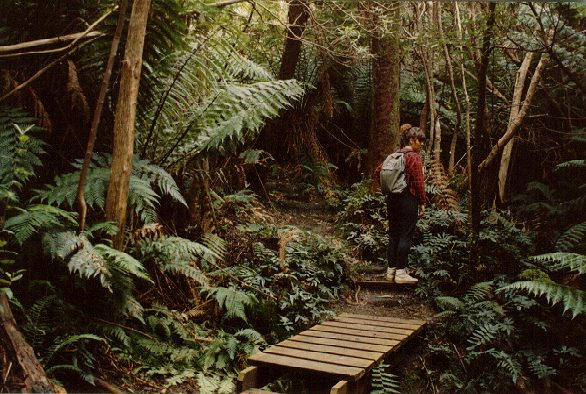
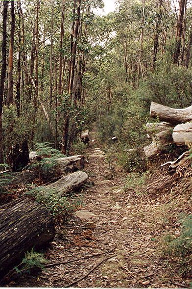
| Walking Track at Fern Tree, southern slopes, about a mile from where I used to live. |
| Fog near Sphinx Rock, Eastern slopes. |
| Boulders near the Organ Pipes. |
| Fingerpost Track, Eastern Slopes |
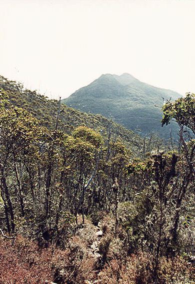
| Collin's Cap, from the Northern slopes of Collin's Bonnet. |
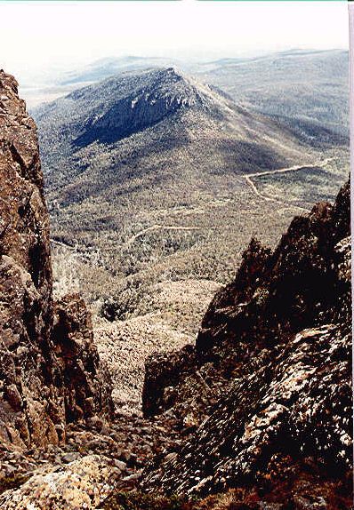
| Trestle Mountain, looking West from the pinnacle of Collins Bonnet |
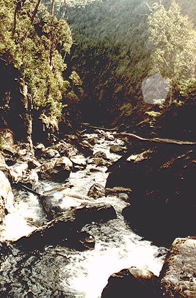
| North West Bay River, South-west slopes, near Mt Montagu. |
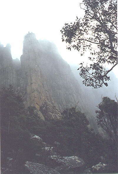
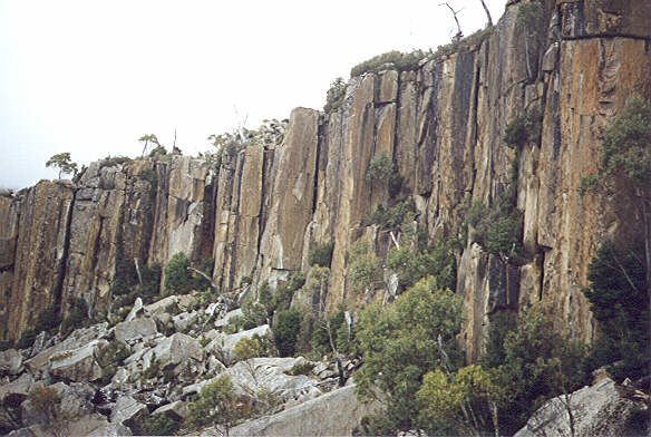
| The Organ Pipes, in Winter. |
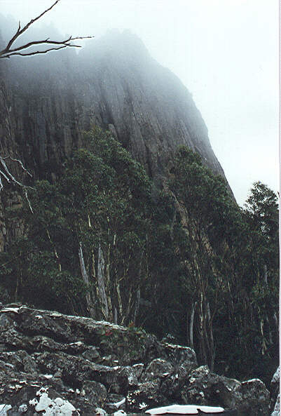
| The Organ Pipes, in Winter. |
| The Organ Pipes, in Winter. |
| The Organ Pipes, from the upper Sawmill track. |
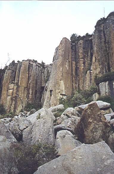
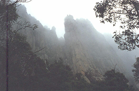
| The Lost World. |
| The Lost World. |